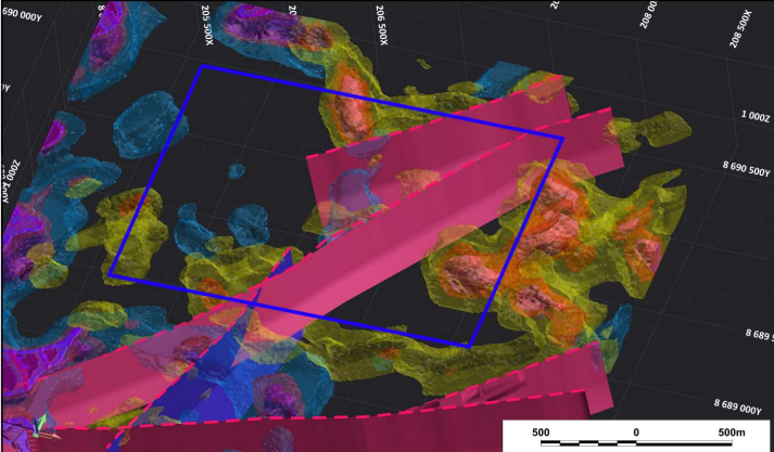
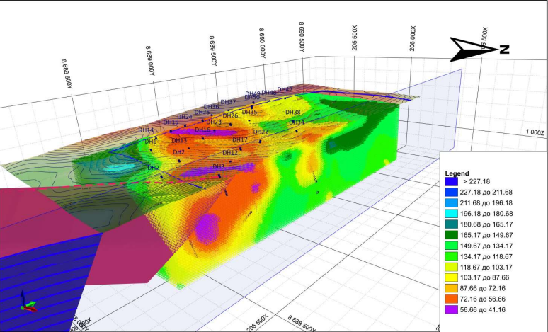
An integrated mineral exploration program conducted in Mwinilunga District, Zambia, during 2024. The project combined 2D spectral satellite imaging, 3D geological modelling derived from remotely sensed data, LOZA-2N electrical prospecting and electrical tomography surveys, and systematic soil geochemical sampling. The collected geological, geophysical, and geochemical datasets were integrated to identify and prioritize mineralized targets, define subsurface structures, and develop a detailed drilling program for follow-up exploration and resource evaluation.
(3D Model made after 2D spectral satellite imaging, 3D geological modelling derived from remotely sensed data, LOZA-2N electrical prospecting and electrical tomography surveys, and systematic soil geochemical sampling)
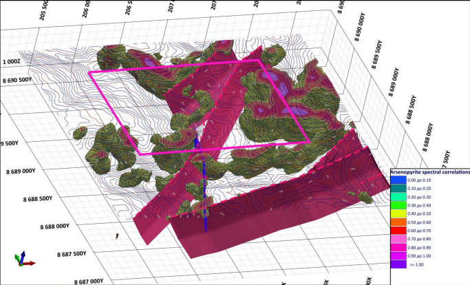
(3D model made from malachite 2D spectral satellite data)