This copper exploration project is located on the outskirts of Lusaka, Zambia. The objective of the program was to identify and evaluate potential copper mineralization through the integration of advanced remote sensing, geophysical, geochemical, and drilling methods.
The exploration program commenced with 2D spectral satellite imaging and geological interpretation to identify prospective alteration zones and structural targets associated with copper mineralization. These results were integrated into a comprehensive exploration model and followed by detailed field investigations.
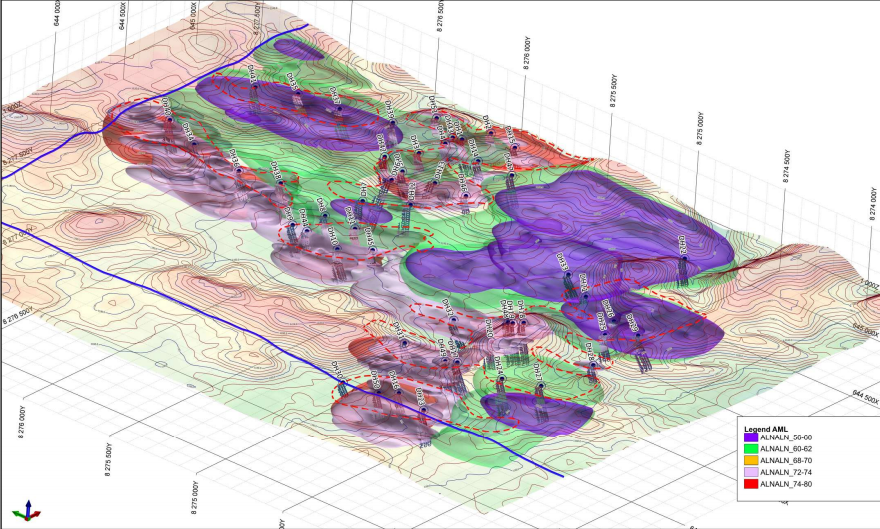
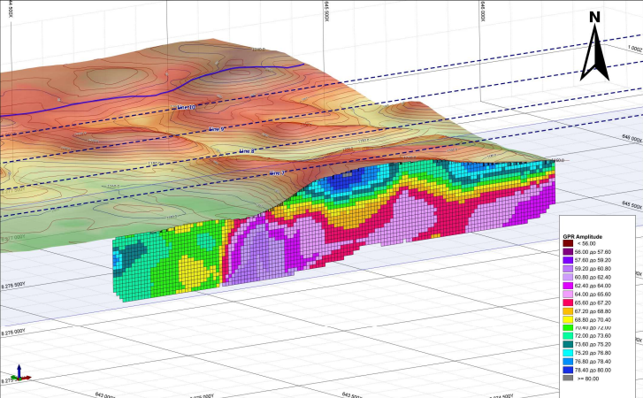
Subsequent exploration activities included electrical prospecting, geological mapping, and systematic soil geochemical sampling to refine priority target areas. The collected datasets were combined to generate a three-dimensional geological model of the project area, allowing for improved targeting of subsurface mineralized structures.
Based on the integrated interpretation of all exploration data, a drilling program was designed and implemented. A total of eight (8) drill holes were completed across the highest-priority targets. All eight (8) drill holes successfully intersected copper mineralization, confirming the effectiveness of the exploration methodology and validating the geological model developed during the project.
The successful drilling results significantly advanced the understanding of the deposit and demonstrated the project’s strong potential for further resource delineation and development.
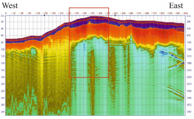
(LOZA-2N electrical prospecting data)
(3D Model made after 2D spectral satellite imaging, 3D geological modelling derived from remotely sensed data, LOZA-2N electrical prospecting and electrical tomography surveys, and systematic soil geochemical sampling)